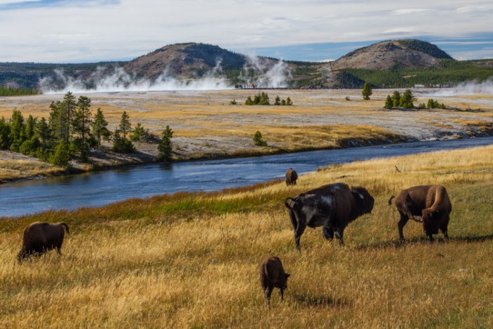
Canyon Area Day Hikes

Start Your Planning With These Local Businesses
Local Businesses
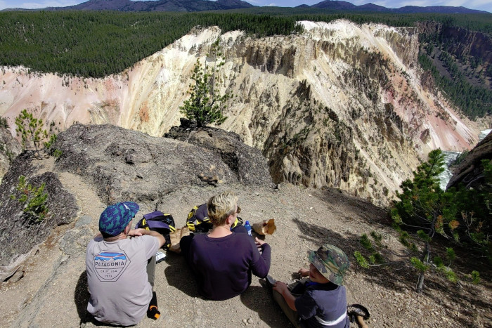
North Rim Trails
Head south from Canyon Village and turn left onto the one-way North Rim Drive or your second left to Upper Falls View.
- Brink of Upper Falls: From the Upper Falls Viewpoint, hike down a steep but short trail to the brink of the falls, before they cascade 190 feet down. This is a magical place.
- Brink of the Lower Falls: Either walk along the Rim Trail from the Upper Falls or hop back in your car and park at the Lower Falls Parking Area. Hike the steep trail down to the Brink of the Lower Falls for the best views.
- Red Rock Point: Again, you can either follow the Rim Trail or drive to the next viewpoint at Lookout Point. The hike down to Red Rock Point offers a glimpse back up towards the Lower Falls.
- Inspiration Point: Most will drive to the parking area to see the view. But you can also continue on the Rim Trail from the Lower Falls or Lookout Point. The trail is well maintained and follows the rim.
South Rim Trails
From the Canyon Village Visitor Center head south on the park loop road and turn left onto the South Rim Drive.
- South Rim Trail: Park at the very first parking area and walk along the South Rim all the way to Artist's Point or even on to Point Sublime.
- Uncle Tom's Trail: Hike the staircase down Uncle Tom's Trail and get up close to the Lower Falls. You can access this from the Upper Falls Parking Area or as a spur trail from the South Rim Trail.
Other Nearby Hiking Trails
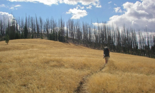
Cascade Lake (Howard Eaton Trail)
It's a choose your own adventure trail. The 5 mile round trip hike to Cascade Lake is a great option for families and is a flat mellow trail. Continue on to Grebe, Wolf, and Ice Lakes for a longer hiking adventure. Or hike all the way to Norris Campground (12 miles one way).
- Trailhead: Just 1/4 mile west of the Canyon Junction on the Canyon-Norris Road, there is a small pullout where you can park.
- Distance: 5 miles round trip to Cascade Lake, 8.5 miles RT to Grebe Lake, 12.5 miles RT Wolf Lake, 16.5 miles RT to Ice Lake.
- Level of Difficulty: Starts out very easy and then grows to moderate.
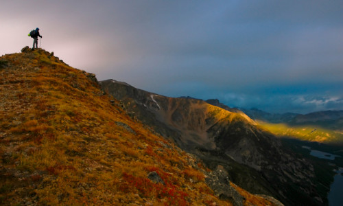
Observation Peak
Take it all in from the outstanding view from Observation Peak. The trail starts north of Canyon Village, swings by Cascade Lake, and then climbs 1400 feet to the top of the peak.
- Trailhead: 1) Either follow the directions above to Cascade Lake OR 2) Park at the Cascade Lake Trailhead 1.25 miles north of Canyon Village (on the Tower-Canyon Road)
- Distance: 11 miles roundtrip
- Level of Difficulty: Strenuous
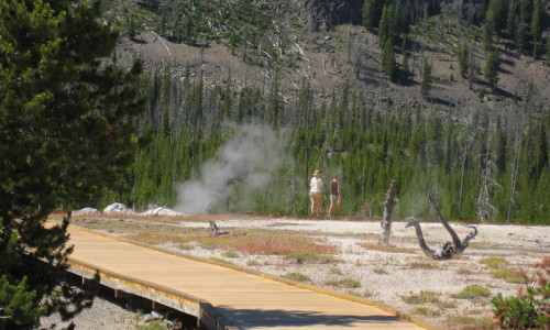
Seven Mile Hole Trail
This 11 mile round trip hike starts at the canyon rim and descends all the way to the rivers edge at the Silver Cord Cascade. It offers some of the most diverse views of the canyon.
- Trailhead: Inspiration Point Parking Area
- Distance: 11 miles round-trip
- Level of Difficulty: Very Strenuous
Mt. Washburn
You can access Mount Washburn from a number of trailheads and routes, but our favorite route starts and ends at Dunraven Pass. The 6 mile round-trip hike switchbacks up the mountain and offers fantastic views the entire way.
- Trailhead: Washburn Trailhead at Dunraven Pass, 4.5 miles north of Canyon Junction
- Distance: 6 miles round trip
- Level of Difficulty: Strenuous